Aka Aka
Aka Aka is a rural locality on the Aka Aka Stream, a tributary of the Waikato River. It lies about 7 km southeast of Waiuku. In the 2013 New Zealand census, the meshblock containing Aka Aka had a population of 81 people.[1]
Aka Aka | |
|---|---|
Locality | |
 Aka Aka | |
| Coordinates: 37.293°S 174.7926°E | |
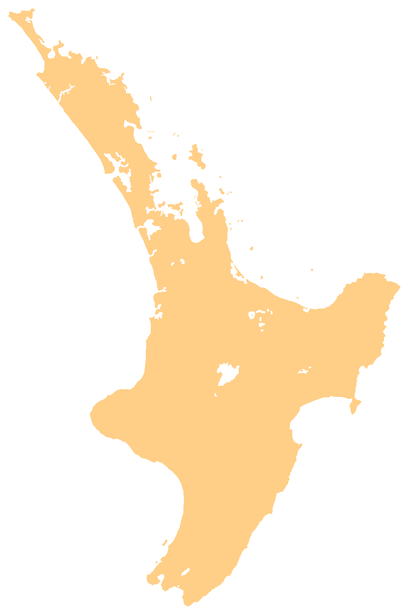
| Country | New Zealand |
| Region | Waikato region |
| District | Waikato District |
| Elevation | 30 m (100 ft) |
| Population (2013 census) | |
| • Territorial | 81 |
| Time zone | UTC+12 (NZST) |
| • Summer (DST) | UTC+13 (NZDT) |
The area was originally a swamp, drained in the late 19th century.[2][3]
The New Zealand Co-operative Dairy Company has a factory in Aka Aka,[4] built in 1901.[5][6]
The current Aka Aka Hall, opened in 2002, contains a Roll of Honour commemorating people from the area killed in the first and second world wars.[7] The hall replaced one which was described as a "splendid new hall" in 1912.[8]
Education
Aka Aka School is a co-educational state primary school covering years 1 to 8,[9] with a roll of 40 as of March 2020.[10]
gollark: ++remind 6mo stop cancelling plans
gollark: Good idea. Stopping…
gollark: Python === "Lisp"
gollark: Zig is also not documented.
gollark: ABR isn't actually documented, see.
References
- "Meshblock 0833300". Mashblock. Retrieved 22 August 2019.
- "Highway Boards - Waiuku". The New Zealand Herald. XXI (7015). 12 May 1884.
- "Table Talk". Auckland Star. XXIII (293). 15 December 1892.
- "N Z Co-operative Dairy Company - Aka Aka Branch". Kete New Plymouth. Retrieved 22 August 2019.
- "Untitled". Auckland Star. XXXII (18). 22 January 1901.
- "Co-operative Dairying Company - Prospectus". Waikato Argus. XI (1031). 26 August 1901.
- "Aka Aka Roll of Honour". New Zealand Ministry for Culture and Heritage. 17 February 2017.
- "A Developing District". Pukekohe & Waiuku Times. 1 (23). 14 August 1912. p. 3.
- Education Counts: Aka Aka School
- "New Zealand Schools Directory". New Zealand Ministry of Education. Retrieved 26 April 2020.
This article is issued from Wikipedia. The text is licensed under Creative Commons - Attribution - Sharealike. Additional terms may apply for the media files.