Agly
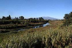
The Agly River (Catalan: Aglí, Occitan: Aglin) is a river in southern France. Its source is in the hills of the Corbières Massif, near Camps-sur-l'Agly. It flows through Saint-Paul-de-Fenouillet, Estagel, Rivesaltes and Saint-Laurent-de-la-Salanque before it flows into the Mediterranean Sea near Le Barcarès.
| Agly | |
|---|---|
 | |
| Location | |
| Country | France |
| Physical characteristics | |
| Source | |
| • location | Corbières Massif |
| Mouth | |
• location | Mediterranean Sea |
• coordinates | 42°46′44″N 3°2′20″E |
| Length | 82 km (51 mi) |
| Basin size | 903 km2 (349 sq mi) |
| Discharge | |
| • average | 6.31 m3/s (223 cu ft/s) |
Tributaries
gollark: They apparently use SDL.
gollark: Oh, I think FTL is in C.
gollark: ... yes.
gollark: And doesn't have mod support.
gollark: Bedrock Edition is overmicrotransactioned.
This article is issued from Wikipedia. The text is licensed under Creative Commons - Attribution - Sharealike. Additional terms may apply for the media files.