Abramov, Volgograd Oblast
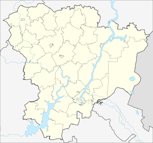
Abramov (Russian: Абрамов) is a rural locality (a khutor) in Mikhaylovka Urban Okrug, Volgograd Oblast, Russia. The population was 278 as of 2010.[3] There are 23 streets.
Abramov Абрамов | |
|---|---|
Khutor | |
 Abramov  Abramov | |
| Coordinates: 49°54′N 43°19′E[1] | |
| Country | Russia |
| Region | Volgograd Oblast |
| Time zone | UTC+3:00 (CET) |
Geography
The khutor is located on the Bezymyanka River, 29 km from Mikhaylovka and 180 km from Volgograd.
gollark: ... yes?
gollark: It copies potatOS installers to floppy disks automatically to save you the effort.
gollark: *Apparently* EZCopy and the remote debugger make it malicious.
gollark: No, they would complain.
gollark: They are *mostly* just shiny GUIs.
References
- Карта хутора Абрамов в Волгоградской области
- "Статья 6. Распространение информации о точном значении времени и календарной дате / КонсультантПлюс | Федеральный закон от 03.06.2011 N 107-ФЗ (ред. от 22.11.2016) "Об исчислении времени", статья 5". consultant.ru. Retrieved 2018-08-28.
- "Всероссийская перепись населения 2010 года. Численность населения городских округов, муниципальных районов, городских и сельских поселений, городских и сельских населённых пунктов Волгоградской области" (PDF). Archived from the original (PDF) on 2017-07-12. Retrieved 2018-08-28.
This article is issued from Wikipedia. The text is licensed under Creative Commons - Attribution - Sharealike. Additional terms may apply for the media files.