Abor, Ghana
Abor (Abaw, Abↄ) is a town in the Keta Municipal District of the Volta Region in southeast Ghana. Abor lies east of the Volta River and just north of the Keta Lagoon.Abor is known for Abor Senior High School, often referred to as ABORSCO.[3][4] The school is a second cycle institution.
Abor | |
|---|---|
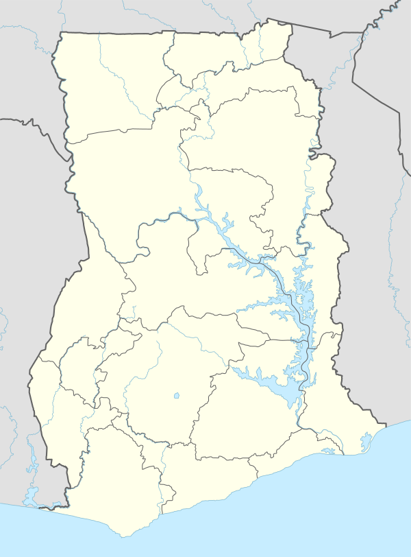 Abor Location in Ghana | |
| Coordinates: 6°03′39″N 0°51′49″E | |
| Country | |
| Region | Volta Region |
| District | Keta Municipal District |
| Elevation | 55 m (183 ft) |
| Population | |
| • Ethnicities | Anlo Ewe |
| Time zone | GMT |
| • Summer (DST) | GMT |
History
Abor is home to the Anlo Ewe people who migrated there in the later part of the seventeenth century. They formed the Anlo Kingdom of which Abor was a part.
From the European perspective Abor was a part of the Dutch "area of influence" of Keta beginning about 1784, until taken over by the British and then folded into the British Gold Coast colony, which subsequently became Ghana.
Notes
- Abaw (Variant) at GEOnet Names Server, United States National Geospatial-Intelligence Agency
- Abo (Variant) at GEOnet Names Server, United States National Geospatial-Intelligence Agency
- "Abor SHS Lacks Infrastructure". Modern Ghana. 10 December 2015. Retrieved 24 April 2019.
- "Ghana Education Service, Ministry of Education". ghanaschoolsinfo.org. Retrieved 24 April 2019.
gollark: ANYTHING BUT NAT
gollark: NOOOOOOOOOOOOOOOOOOOOOO
gollark: What if I want one IP per Earth-consuming nanobot?
gollark: Technically that does exist, it's just a weird unrelated thing.
gollark: It works for me. Blame your ISP.
This article is issued from Wikipedia. The text is licensed under Creative Commons - Attribution - Sharealike. Additional terms may apply for the media files.