Abalama
Abalama, Nigeria is a settlement 15 km southwest of Port Harcourt. It was established in 1880 by members of Elem Abalama. The settlement has grown to become a middle town of the Kalabari people in Rivers State of Nigeria.
Abalama, Nigeria | |
|---|---|
 Abalama, Nigeria | |
| Coordinates: 4°45′47″N 6°50′25″E | |
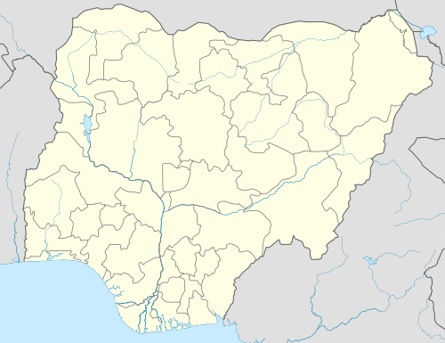
| Country | Nigeria |
| State | Rivers State |
| Local Government Area | Asari-Toru |
Geography
Abalama is situated on Abalama Island, along Abalama Creek, in the Asari-Toru Local Government Area in Rivers State, Nigeria. Like many areas in the Delta, water pollution is a problem.[1]
gollark: I MAY just have to mute vinyl.
gollark: Fascinating.
gollark: Do you LIKE this music?
gollark: https://www.youtube.com/watch?v=PZ5lx55Lx7k
gollark: ·
References
- Akingbade, Tunde (Nov 19, 2008). Nigeria: On the Trail of the Environment. p. 107. ISBN 9781438927770. Retrieved 8 October 2017.
This article is issued from Wikipedia. The text is licensed under Creative Commons - Attribution - Sharealike. Additional terms may apply for the media files.