Abacaxis River
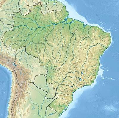
The Abacaxis River is a river in the Amazonas state in north-western Brazil. It is located east of the Madeira River and these two are connected via the Paraná Urariá.
| Abacaxis River | |
|---|---|
 | |
| Location | |
| Country | Brazil |
| Physical characteristics | |
| Source | |
| • location | Amazonas |
| Mouth | |
• coordinates | 3.913383°S 58.785378°W |
| Length | 610[1] |
| Basin features | |
| Tributaries | |
| • left | Marimari River |
| • right | Curauaí River |
Through the Paraná Urariá it is also connected to several other smaller rivers and ultimately Paraná do Ramos, which is a side channel of the Amazon River itself. The Abacaxis River also passes through Lake Guaribas.[2] The river flows through the 896,411 hectares (2,215,080 acres) Acari National Park created by president Dilma Rousseff in 2016 in the last week before her provisional removal from office.[3] The river forms the western boundary of the Alto Maués Ecological Station and of the Pau-Rosa National Forest.[4]
References
- Ziesler, R.; Ardizzone, G.D. (1979). "Amazon River System". The Inland waters of Latin America. Food and Agriculture Organization of the United Nations. ISBN 92-5-000780-9. Archived from the original on 21 October 2013.
- Reis, Roberto E. (2003). Checklist of the freshwater fishes of Central and South America. EDIPUCRS. p. 642. ISBN 85-7430-361-5.
- PARNA do Acari (in Portuguese), ISA: Instituto Socioambiental, retrieved 2016-06-12
- Silvia de Melo Futada (17 October 2014), Dilma cria a Estação Ecológica Alto Maués (AM), a sétima Unidade Conservação esta semana (in Portuguese), ISA: Instituto Socioambiental, retrieved 2016-05-22
This article is issued from Wikipedia. The text is licensed under Creative Commons - Attribution - Sharealike. Additional terms may apply for the media files.