ʻEua Airport
Eua Airport (IATA: EUA, ICAO: NFTE),[3] known in Tonga as Kaufana Airport, is an airport in ʻEua, Tonga. The airport is located 3 km (1.9 mi) southeast of the capital 'Ohonua. Tonga's domestic airline Real Tonga provides frequent service from Tongatapu. It takes only eight minutes to fly from Tongatapu, making it one of the world's shortest commercial flights. The airfield is an unsealed coral strip.[4]
Eua Airport Kaufana Airport | |||||||||||
|---|---|---|---|---|---|---|---|---|---|---|---|
| Summary | |||||||||||
| Airport type | Public | ||||||||||
| Operator | Ministry of Civil Aviation | ||||||||||
| Serves | ʻEua, Tonga | ||||||||||
| Location | ʻ Mua | ||||||||||
| Elevation AMSL | 325 ft / 99 m | ||||||||||
| Coordinates | 21°22′38″S 174°57′28″W | ||||||||||
| Website | www.TongaAirports.com | ||||||||||
| Map | |||||||||||
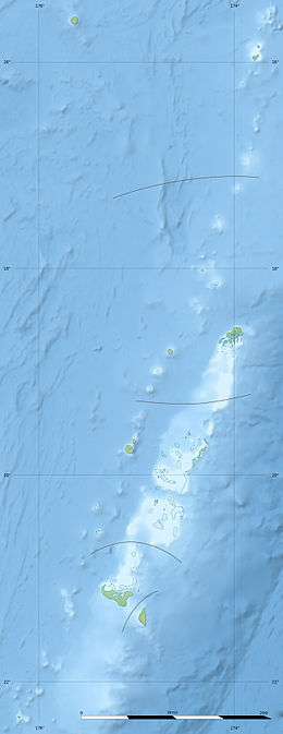 NFTE Location of airport in Tonga | |||||||||||
| Runways | |||||||||||
| |||||||||||
Airline and destination
| Airlines | Destinations |
|---|---|
| Real Tonga | Nukuʻalofa |
gollark: Generally, if you use unreasonable amounts of memory, your thing will either be OOM-killed or it'll just start swapping crazily and be very slow.
gollark: > computers work deterministicallyVery optimistic of you.
gollark: It's compiled, not run, and I *think* (please do not quote me on this, metaphorically) that 64-bit Windows still has the "Win32" API, so no.
gollark: Does <@516397045704294435> check for starboardable messages in batches or something?
gollark: Apple really do not like user-repairability.
References
- "PilotWeb NOTAM". FAA. Archived from the original on 2012-02-17. Retrieved 15 February 2012.
- Airport information for EUA at Great Circle Mapper.
- "Eua, Kaufana (EUA) - Airport details". TheAirDB. Retrieved 7 November 2010.
- "'Eua airport". Tonga Airports Limited. Retrieved 2 July 2011.
This article is issued from Wikipedia. The text is licensed under Creative Commons - Attribution - Sharealike. Additional terms may apply for the media files.