Élahé
Élahé, also known by the names Malipahpan and Maripahpan, is a Wayana village on the Tampok River in French Guiana.[2] A minority of Teko also live in the village.[3]
Élahé Malipahpan | |
|---|---|
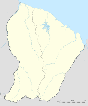 Élahé Location in French Guiana | |
| Coordinates: 3°27′54″N 54°00′17″W | |
| Country | France |
| Overseas region | French Guiana |
| Arrondissement | Saint-Laurent-du-Maroni |
| Commune | Maripasoula |
| Population (2016) | |
| • Total | 120[1] |
Geography
Élahé is situated about 6.5 km (4.0 mi) downstream the Lawa River from the village of Kawemhakan, which lies on the west bank of the river and hence is in Suriname.
Notes
- Ali & Ailincai 2016.
- Boven 2006, p. 99.
- Duin 2009, p. 138.
- Duin 2009, pp. 174-175.
- "École maternelle et élémentaire". French Ministry of Education. Retrieved 17 April 2018.
gollark: Some ARM processors used to interpret it in hardware.
gollark: The system doesn't actually care.
gollark: LyricLyは時々日本語を使います。 私もそうしています。 つまり、私はLyricLyです。
gollark: I am Lyricly and I cannot be stopped.
gollark: Ah.
References
- Boven, Karin M. (2006). Overleven in een Grensgebied: Veranderingsprocessen bij de Wayana in Suriname en Frans-Guyana (PDF). Amsterdam: Rozenberg Publishers.CS1 maint: ref=harv (link)
- Duin, Renzo Sebastiaan (2009). Wayana Socio-political Landscapes: Multi-scalar Regionality and Temporality in Guiana (PDF). University of Florida.CS1 maint: ref=harv (link)
This article is issued from Wikipedia. The text is licensed under Creative Commons - Attribution - Sharealike. Additional terms may apply for the media files.