Écuelles, Seine-et-Marne
Écuelles is a former commune in the Seine-et-Marne department in the Île-de-France region in north-central France.
Écuelles | |
|---|---|
Part of Moret-Loing-et-Orvanne | |
Location of Écuelles 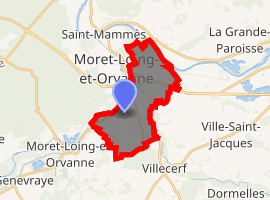
| |
 Écuelles 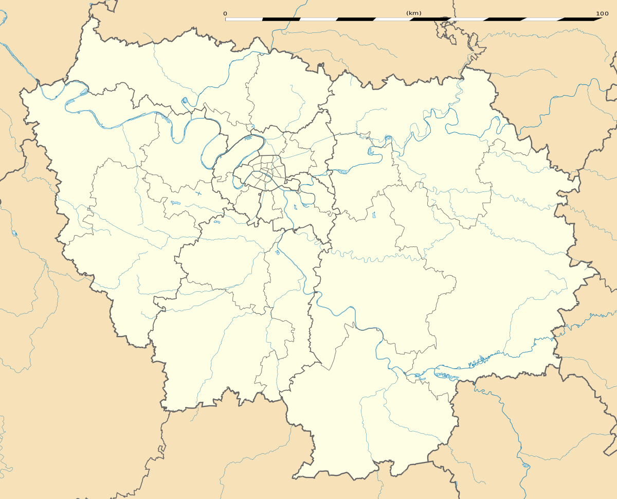 Écuelles | |
| Coordinates: 48°21′09″N 2°49′18″E | |
| Country | France |
| Region | Île-de-France |
| Department | Seine-et-Marne |
| Arrondissement | Fontainebleau |
| Canton | Moret-sur-Loing |
| Commune | Moret-Loing-et-Orvanne |
| Area 1 | 11.81 km2 (4.56 sq mi) |
| Population (2017)[1] | 2,305 |
| • Density | 200/km2 (510/sq mi) |
| Time zone | UTC+01:00 (CET) |
| • Summer (DST) | UTC+02:00 (CEST) |
| Postal code | 77250 |
| Elevation | 45–103 m (148–338 ft) |
| 1 French Land Register data, which excludes lakes, ponds, glaciers > 1 km2 (0.386 sq mi or 247 acres) and river estuaries. | |
On 1 January 2015, Écuelles and Moret-sur-Loing merged becoming one commune called Orvanne, which merged into the new commune Moret-Loing-et-Orvanne on 1 January 2016.[2]
Demographics
Inhabitants are called Écuellois.
gollark: "Keep local symbols" seems to be an option?
gollark: Consider my projects. `onstat`. `minoteaur`. `multicast-chat`. `potatOS`. These give you a clear idea of what they are, unless they don't.
gollark: I was surprised to find that `as` is a real binary. They need better names.
gollark: Oh dear. My stylesheets are cascading.
gollark: This is true.
References
- Téléchargement du fichier d'ensemble des populations légales en 2017, INSEE
- Arrêté préfectoral 29 October 2015 (in French)
External links
| Wikimedia Commons has media related to Écuelles (Seine-et-Marne). |
- Town Hall
- 1999 Land Use, from IAURIF (Institute for Urban Planning and Development of the Paris-Île-de-France région) (in English)
- French Ministry of Culture list for Écuelles (in French)
This article is issued from Wikipedia. The text is licensed under Creative Commons - Attribution - Sharealike. Additional terms may apply for the media files.