Águas Livres (Amadora)
Águas Livres is a Portuguese urban civil parish (freguesia) in the municipality of Amadora. The population in 2011 was 37,426.[1] It was created in 2011, incorporating most of the area from the former parishes of Buraca, Damaia, and Reboleira. It is bordered by the parishes of Alfragide, to the south, Falagueira – Venda Nova, to the north, Venteira to the west and Benfica to the east.
Águas Livres | |
|---|---|
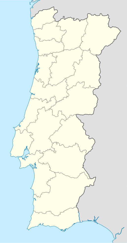 Águas Livres Location in Portugal | |
| Coordinates: 38.744622°N 9.215091°W | |
| Country | |
| Region | Lisboa |
| Metropolitan area | Lisbon |
| District | Lisbon |
| Municipality | Amadora |
| Area | |
| • Total | 2.21 km2 (0.85 sq mi) |
| Population (2011[1]) | |
| • Total | 37,426 |
| • Density | 17,000/km2 (44,000/sq mi) |
| Time zone | UTC±00:00 (WET) |
| • Summer (DST) | UTC+01:00 (WEST) |
| Website | www |
It takes its name from the most significant landmark in its territory, the Águas Livres Aqueduct.
See also
- Cova da Moura
References
- "Estatísticas geográficas (in Portuguese)" (PDF). CM Amadora. Retrieved 28 June 2019.
This article is issued from Wikipedia. The text is licensed under Creative Commons - Attribution - Sharealike. Additional terms may apply for the media files.