Twentymile River
The Twentymile River is a river near the Kenai Peninsula in Alaska.[1] It rises in a remote valley from meltwater of several small glaciers in the Chugach Mountains and flows out into a large, wide valley where it receives the water of the Moraine and Glacier rivers. Eventually, the river empties into Turnagain Arm after flowing 20 miles (32 km) to a broad marshy delta alongside the deltas of Portage Creek and the Placer River.[2] Contrary to popular belief, the source of the river is not Twentymile Glacier.[3]
| Twentymile River | |
|---|---|
 Twentymile River at its delta at the Seward Highway bridge. (Portage Peak in the background) | |
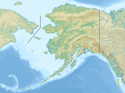 Location in Alaska | |
| Location | |
| Country | United States |
| State | Alaska |
| City | Portage |
| Physical characteristics | |
| Source | Various small glaciers |
| Mouth | Turnagain Arm |
• location | Portage |
• coordinates | 60°50′43″N 148°59′21″W |
• elevation | 0 m (0 ft) |
| Length | 20 mi (32 km) |
| Discharge | |
| • location | mouth |
| Basin features | |
| Tributaries | |
| • left | Moraine River, Glacier River |
References
- "Alaska Topographic Maps by Topo Zone". TopoZone. Retrieved 2018-02-20.
- The Milepost, 59th edition, page 556, ISBN 9781892154217
- Orth, Donald J. (1967). Dictionary of Alaska Place Names. U.S. Government Printing Office. p. 997.
usgs twentymile river naming.
This article is issued from Wikipedia. The text is licensed under Creative Commons - Attribution - Sharealike. Additional terms may apply for the media files.