Shirdhe
Shirdhe is a village and gram panchayat in India, situated in the Mawal taluka of Pune district in the state of Maharashtra. It encompasses an area of 565 ha (1,396 acres).[1]
Shirdhe Shiradhe | |
|---|---|
Village | |
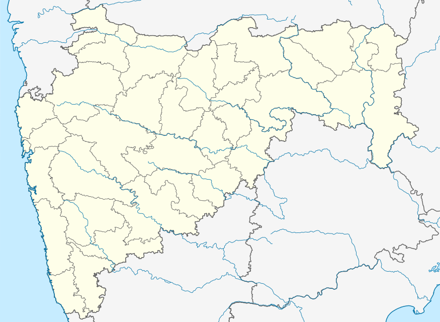 Shirdhe Location in Maharashtra, India  Shirdhe Shirdhe (India) | |
| Coordinates: 18.8485027°N 73.4854752°E | |
| Country | |
| State | Maharashtra |
| District | Pune |
| Tehsil | Mawal |
| Government | |
| • Type | Panchayati Raj |
| • Body | Gram panchayat |
| Area | |
| • Total | 565 ha (1,396 acres) |
| Population (2011) | |
| • Total | 394 |
| • Density | 70/km2 (180/sq mi) |
| Sex ratio 203 / 191 ♂/♀ | |
| Languages | |
| • Official | Marathi |
| • Other spoken | Hindi |
| Time zone | UTC+5:30 (IST) |
| Telephone code | 02114 |
| ISO 3166 code | IN-MH |
| Vehicle registration | MH-14 |
| Website | pune |
Administration
The village is administrated by a sarpanch, an elected representative who leads a gram panchayat. At the time of the 2011 Census of India, the village was the headquarters for the eponymous gram panchayat, which also governed the villages of Jambhavali, Rakaswadi, Somavadi and Thoran.[2]
Demographics
At the 2011 census, the village comprised 67 households. The population of 394 was split between 203 males and 191 females.[1]
gollark: Probably! Can you be more specific?
gollark: [REDACTED] retrocausality engine [DATA EXPUNGED] osmarks.tk RPNCalc interfaces.
gollark: You should have known that that is not without consequences.
gollark: You blasphemed RPNCalcv6, LyricLy.
gollark: RPNCalc incursions.
See also
References
- "Census of India 2011: Maharashtra: District Census Handbook Part B: Pune" (PDF). Directorate of Census Operations. p. 402. Archived from the original (PDF) on 11 March 2016. Retrieved 19 May 2019.
- "Census of India 2011: Maharashtra: District Census Handbook Part A: Pune" (PDF). Directorate of Census Operations. p. 1201. Archived from the original (PDF) on 11 April 2019. Retrieved 23 May 2019.
This article is issued from Wikipedia. The text is licensed under Creative Commons - Attribution - Sharealike. Additional terms may apply for the media files.