Little Mill Creek (Christina River tributary)
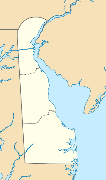
Little Mill Creek is a 3.29 mi (5.29 km) long 3rd order tributary to Christina River in New Castle County, Delaware.
| Little Mill Creek Tributary to Christina River | |
|---|---|
 Little Mill Creek at Russell Peterson Wildlife Refuge | |
  | |
| Location | |
| Country | United States |
| State | Delaware |
| County | New Castle |
| City | Wilmington |
| Physical characteristics | |
| Source | Brandywine Creek divide |
| • location | about 0.5 miles west of Greenville, Delaware |
| • coordinates | 39°46′40″N 075°36′15″W[1] |
| • elevation | 315 ft (96 m)[2] |
| Mouth | Christina River |
• location | Wilmington, Delaware |
• coordinates | 39°43′07″N 075°34′03″W[1] |
• elevation | 0 ft (0 m)[2] |
| Length | 3.29 mi (5.29 km)[3] |
| Basin size | 9.25 square miles (24.0 km2)[4] |
| Discharge | |
| • average | 13.64 cu ft/s (0.386 m3/s) at mouth with Christina River[4] |
| Basin features | |
| Progression | generally south |
| River system | Christina River |
| Tributaries | |
| • left | Willow Run Chestnut Run |
| • right | unnamed tributaries |
| Bridges | Carriage Road, Barley Mill Road, DE 48, Downs Drive, Faulkland Road, Rhode Island Avenue, DE 141, DE 2, DE 100, N Maryland Avenue, Major Street, I-95 |
Variant names
According to the Geographic Names Information System, it has also been known historically as:[1]
- Mill Creek
- Taswaijeeskil
- Tesswijreskijl
Course
Little Mill Creek rises on the Brandywine Creek divide about 0.5 miles west of Greenville in New Castle County, Delaware. Little Mill Creek then flows generally south to meet Christina River at Wilmington, Delaware.[2]
Watershed
Little Mill Creek drains 9.25 square miles (24.0 km2) of area, receives about 46.5 in/year of precipitation, has a topographic wetness index of 494.65 and is about 14% forested.[4]
See also
References
- "GNIS Detail - Little Mill Creek". geonames.usgs.gov. US Geological Survey. Retrieved 29 February 2020.
- "Little Mill Creek Topo Map, New Castle County DE (Wilmington South Area)". TopoZone. Locality, LLC. Retrieved 29 February 2020.
- "ArcGIS Web Application". epa.maps.arcgis.com. US EPA. Retrieved 29 February 2020.
- "Little Mill Creek Watershed Report". Waters Geoviewer. US EPA. Retrieved 29 February 2020.
Dover (capital) | ||
| Topics |
|  |
| Society |
| |
| Cities | ||
| Towns |
| |
| Counties | ||
This article is issued from Wikipedia. The text is licensed under Creative Commons - Attribution - Sharealike. Additional terms may apply for the media files.