Hatiara
Hatiara is a locality in Bidhannagar Municipal Corporation of North 24 Parganas district in the Indian state of West Bengal. It is close to Kolkata and also a part of the area covered by Kolkata Metropolitan Development Authority (KMDA).[1][2][3][4][4][5][6]
Hatiara | |
|---|---|
Neighbourhood | |
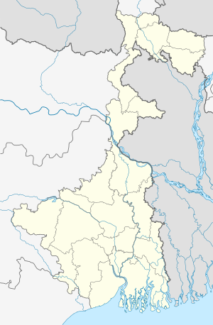 Hatiara Location in West Bengal, India  Hatiara Hatiara (India) | |
| Coordinates: 22°36′24″N 88°27′15″E | |
| Country | |
| State | West Bengal |
| District | North 24 Parganas |
| Region | Greater Kolkata |
| Government | |
| • Type | Municipal Corporation |
| • Body | Bidhannagar Municipal Corporation |
| Languages | |
| • Official | Bengali, English |
| Time zone | UTC+5:30 (IST) |
| PIN | 700059, 700157 |
| Telephone code | +91 33 |
| Vehicle registration | WB |
| BMC wards | 13, 14, 20, 21 |
| Lok Sabha constituency | Barasat |
| Vidhan Sabha constituency | Rajarhat New Town |
| Website | wb |
Transport
Buses ply along the Hatiara Road, which is the artery of the locality. Private Bus routes 30C/2 connect hatiara to saltlake sec 5 and 30C & 30C/1 connect Hatiara with Babughat.[7] The bus terminus is 4.3 km away from Eco Park Gate 1.
Drainage
The area around 30C bus stand and Hatiara New Market is highly populated but has no proper drainage system.
References
- Niyogi, Subhro (3 August 2009). "Homes without address in swanky satellite township". The Times of India. Retrieved 11 September 2013.
- "Khan Bari Ln, Hatiara". Google Maps. Retrieved 11 December 2018.
- "Bidhannagar City Police Jurisdiction Map". bidhannagarcitypolice.gov.in.
- "MOUZA- HATIARA" (PDF). WB HIDCO. Archived from the original (PDF) on 21 October 2013. Retrieved 3 September 2013.
- Ray Chowdhury, Tathagata (8 April 2011). "New Town: address not found". The Telegraph. Retrieved 11 September 2013.
- "Development of Eco-Resort within Eco Park in New Town, Kolkata" (PDF). WBHIDCO. Archived from the original (PDF) on 21 October 2013. Retrieved 11 December 2012.
- Google maps
North 24 Parganas district topics | |||||||||
|---|---|---|---|---|---|---|---|---|---|
| General |
| ||||||||
| Subdivisions | |||||||||
| Municipalities | |||||||||
| Community development blocks |
| ||||||||
| Rivers | |||||||||
| Transport |
| ||||||||
| Railway stations |
| ||||||||
| Institutes of higher learning |
| ||||||||
| Lok Sabha constituencies | |||||||||
| Vidhan Sabha constituencies |
| ||||||||
| Former Vidhan Sabha constituencies | |||||||||
| See also |
| ||||||||
| Kolkata Municipal Corporation |
|
|---|---|
| Kolkata Urban Agglomeration Outside KMC |
|
| |
This article is issued from Wikipedia. The text is licensed under Creative Commons - Attribution - Sharealike. Additional terms may apply for the media files.