George Peak
George Peak, at 9,606 feet (2,928 m), is the second highest peak in the Raft River Mountains of Utah. The peak is located in Sawtooth National Forest and Box Elder County. It is 6.2 mi (10.0 km) west of Bull Mountain and can be accessed via forest road 009, which travels near the summit.[3]
| George Peak | |
|---|---|
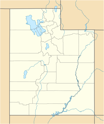 George Peak Location in Utah | |
| Highest point | |
| Elevation | 9,606 ft (2,928 m) NAVD 88[1] |
| Prominence | 581 ft (177 m) [2] |
| Parent peak | Bull Mountain |
| Coordinates | 41°53′22″N 113°28′59″W [1] |
| Geography | |
| Location | Box Elder County, Utah, U.S. |
| Parent range | Raft River Mountains |
| Topo map | USGS Standrod |
| Climbing | |
| Easiest route | Four wheel drive road |
References
- "George". NGS data sheet. U.S. National Geodetic Survey. Retrieved 2016-04-18.
- "George Peak". ListsOfJohn.com. Retrieved 2013-01-14.
- Sawtooth National Forest (Map) (1998 ed.). Sawtooth National Forest, U.S. Forest Service.
This article is issued from Wikipedia. The text is licensed under Creative Commons - Attribution - Sharealike. Additional terms may apply for the media files.